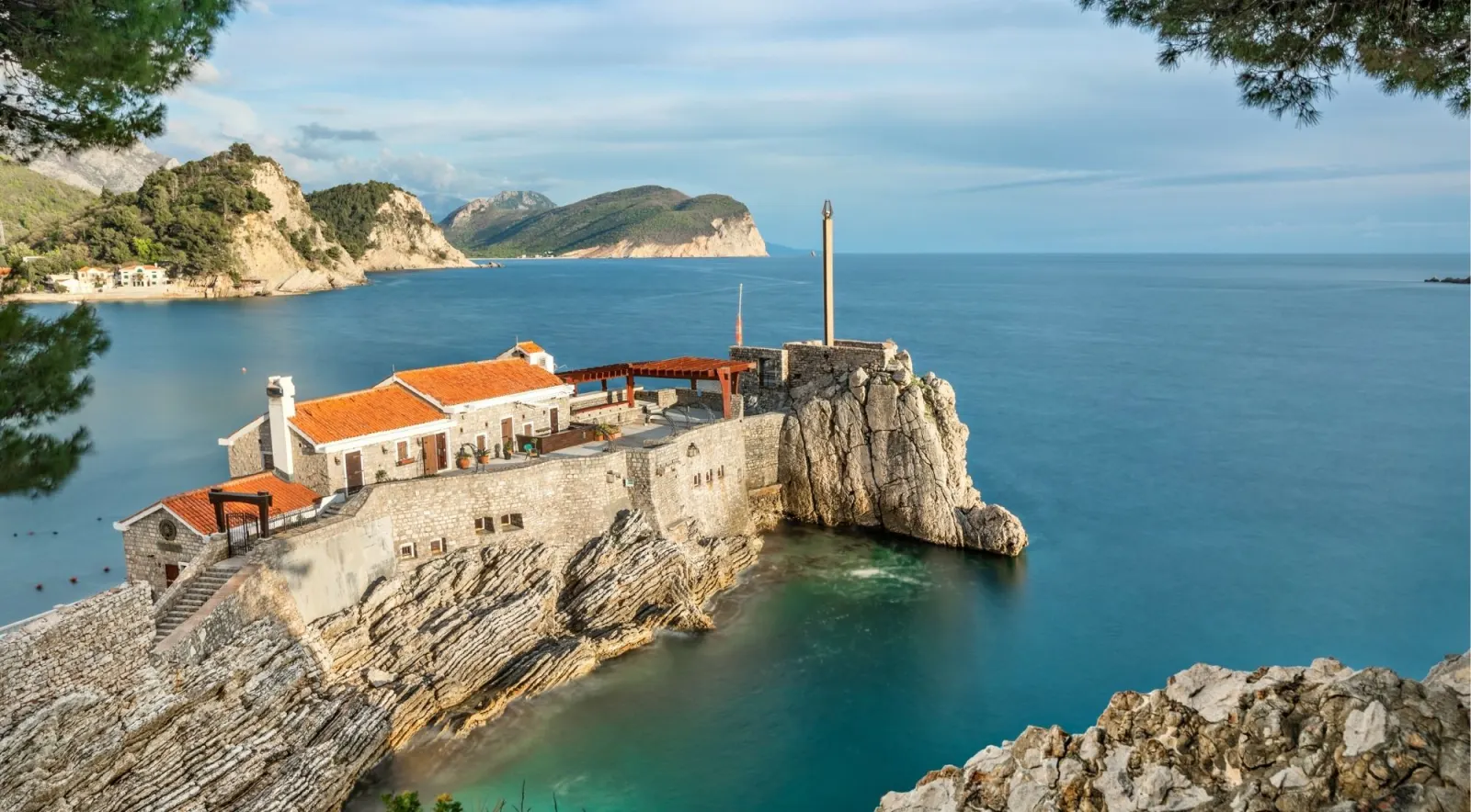
The Bay of Kotor — Boka Kotorska locally — is a winding inlet of the Adriatic Sea in southwestern Montenegro, about 28 km long with a shoreline of roughly 107 km. It is surrounded by two massifs of the Dinaric Alps: the Orjen mountains (peaks around 1,895 m) to the west and Lovćen (1,749 m) to the east, which rise almost vertically from the sea. The water surface covers about 87.3 km².
Despite being marketed as "Europe's southernmost fjord," the bay is technically a ria — a drowned river valley formed by the tectonic subsidence and karst dissolution of the vanished Bokelj River, not by glacial carving. The visual impression is nearly identical to a Scandinavian fjord — steep mountains plunging into calm, enclosed water — but the geology is fundamentally different.
The bay's peculiar topography makes it one of the wettest inhabited areas in Europe. The village of Crkvice on the plateau above Risan averages around 5,100 mm of rain a year — Europe's wettest inhabited place. And yet in summer the inner bay basks in warm, dry Mediterranean sun, with sea temperatures peaking at 25–27°C in July and August. The Natural and Culturo-Historical Region of Kotor was inscribed on the UNESCO World Heritage List in 1979, among the first ~60 sites globally.